–
We didn’t do the Loire justice in rushing down in only two days. Even more so as these were one of the best two days I had in more than 30 years of boating. A totally unique river, far away from the hustle and bustle and once you get your bearings right not a worry in the world.
The main reason for the rush was, that I was really worried about the trip, as most information you will find on the net or in guides is rather discouraging, outdated or just wrong. At this point again I have to thank Keith Waller from the Wilderness Boats Owner Club for his sound advice and encouragement.
To encourage the reader to travel the Loire, I want to give some advice to the potential Loire boater. Please bear in mind that this can’t be comprehensive as there certainly is much more to this river than I will ever know.
1. Paperwork
– The Loire is managed by the VNF (Voies navigables de France). Thus you need to purchase and display a leisure boat licence. As 2016 for a 7 m boat 3 days will cost you 40.70 € and a 30 day license will set you back 77.90€. They can be purchased online.
– Waterways guide. I prefer the Guide du Breil 10, but sure the Fluviacarte 13 will be equally good.
– A tide table including the opening times of the Ecluse St.Felix in Nantes can be downloaded at the Port du Nantes webpage. Just click “Horaires éclusage St Félix” and you will download the PDF.
– Most useful is the “Bulletin de Navigabilite la Loire”. See a sample here. I cannot find any webpage linking the latest Bulletin directly. Best you can do is to google for “Bulletin de Navigabilite la Loire”. At a low water level there is a new Bulletin published every Friday. Make sure you get the latest one. As the river changes all the time, your waterways guide really only offers the greater context of were you are on the river. The Bulletin highlights all the particularly shallow and fast flowing sections. Keep a good lookout at these sections, as more often then not that’s were the channel changes sides in the riverbed.
Update 2018: For some reason the “Bulletin de Navigabilite la Loire” cannot be found online any more. If you do have a source, please do let me know.
But the latest version of the Bulletin could, as of August 2018, be found in a little display case at the first floating jetty (coming downstream) in Bouchemain.
– The Bulletin seems only available, once the level at Mountjean drops below a certain mark.
(although I have no idea, what that mark is. Again, if you know, please leave a comment)
The Montjean level can be found on the Vigicrues website. At the time we navigated the Loire the Mountjean level was at -1.82m and the minimum water depth we found was still 0.6 m.
2. Equipment
– A boat. Obviously we did this with our Beaver, which turned out ideal for two reasons. First it has a very shallow draft of only 50 cm (which is the tip of the outboard) and secondly its a trail boat. Although I would assume that with a bit more water it can be done with almost any boat. But be aware that the river is very fast flowing in places. If your boat can’t do at least 15km/h through water it will be pretty much a one way trip between Bouchmaine and Ancenis. Between Ancenis and Nantes speed doesn’t matter so much as you can just go with the tide.
– The most important thing to have is a good anchor with chain and warp. We have got an 8kg Danforth with 15 meters of chain and 20 meters of warp stored in the forward well and ready to be deployed. The riverbed is sand almost anywhere. So any good sand anchor should be fine. But please let me drive the message home: Cruising the Loire without a proper anchor and gear is a very bad idea. If your engine fails near a bridge and you cannot stop the boat you better make sure you are a good swimmer. And its very pleasant to beach the boat and secure it with an anchor. Enjoy the solitude or go for a swim.
– Which gets us to the other most important equipment: Life jackets. Proper ones. For everybody. No excuses. No questions asked. It’s a river. It’s fast flowing. Wear that jacket.
– A good pair of binoculars. Maybe not strictly necessary, but it makes navigation so much easier and safer. And then there is so much wildlife that you totally miss out if you have not got a bino.
– A GPS unit. Not strictly necessary, but very helpful to judge your speed over ground and to determine your location in the river.
– We have got a 2.5 hp auxiliary outboard, which I bought many moons ago for another boat. It lives on a lifting transom on ARGOs stern and drives the boat at a steady 8km/h (5mph). Certainly not a must have, but peace of mind.
– A hose extension. There is water to be had at almost all the marked jetties, but the tap is usually high up and far away, well beyond the flood line. So if you need a refill…………….
3. Navigating
Please bear in mind, that we only have first hand experience of the navigation at a low summer water level. The common lore seems to be that speed of the current increases with an lower water level. In other words, at higher level the river might a bit more benign.
As mentioned above, there are two wholly different parts of the navigable Loire. The free flowing river between Bouchmaine and Ancenis and the tidal section downstream of Ancenis to Nantes. Below Nantes (just past the ecluse St-Felix) you will enter the commercial port of Nantes and the Loire maritime. Although the port doesn’t seem to be very busy any more, as business has moved downstream to St-Nazaire, you should be aware that you are playing with the big boys now. You need at least a VHF radio with a licence held and your insurance might not cover you here as well.
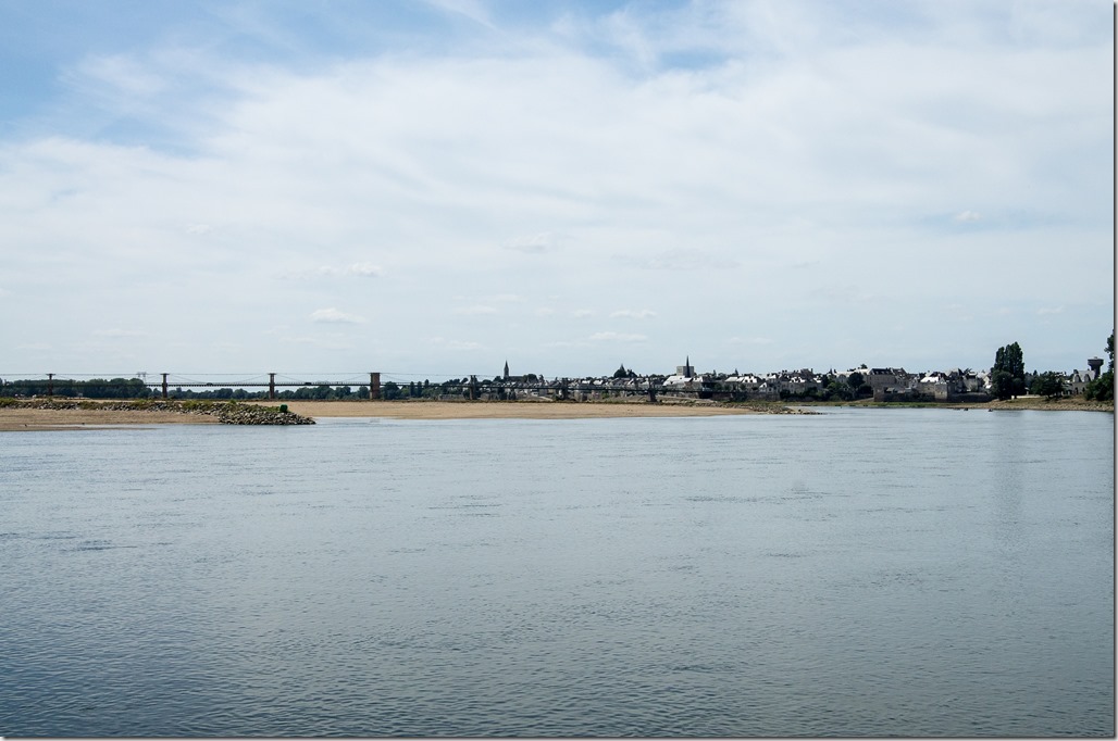
Bouchmaine – Ancenis (50 km): Absolutely thrilling boating, huge fun, a wee bit frightening for the first few minutes. The Loire is the longest French river and the good people of France have tried for many centuries to make it reliably navigable. And regularly failed on all accounts. Its not there fault, its rather down to the structure of the river, which behaves rather like a mountain stream over all its length. The flow rate at Mountjean can fluctuate form 85m³/s to 5200m³/s. And these are flow rates at which the river is considered save for navigation. To maintain some sort of control over the navigation channels and depth, many hundred of spur dykes have been build either side of the river. The heads of the dykes are all marked with buoys. These buoys are redundant at low water levels, but you better make sure to observe them religiously once the dykes are submerged.

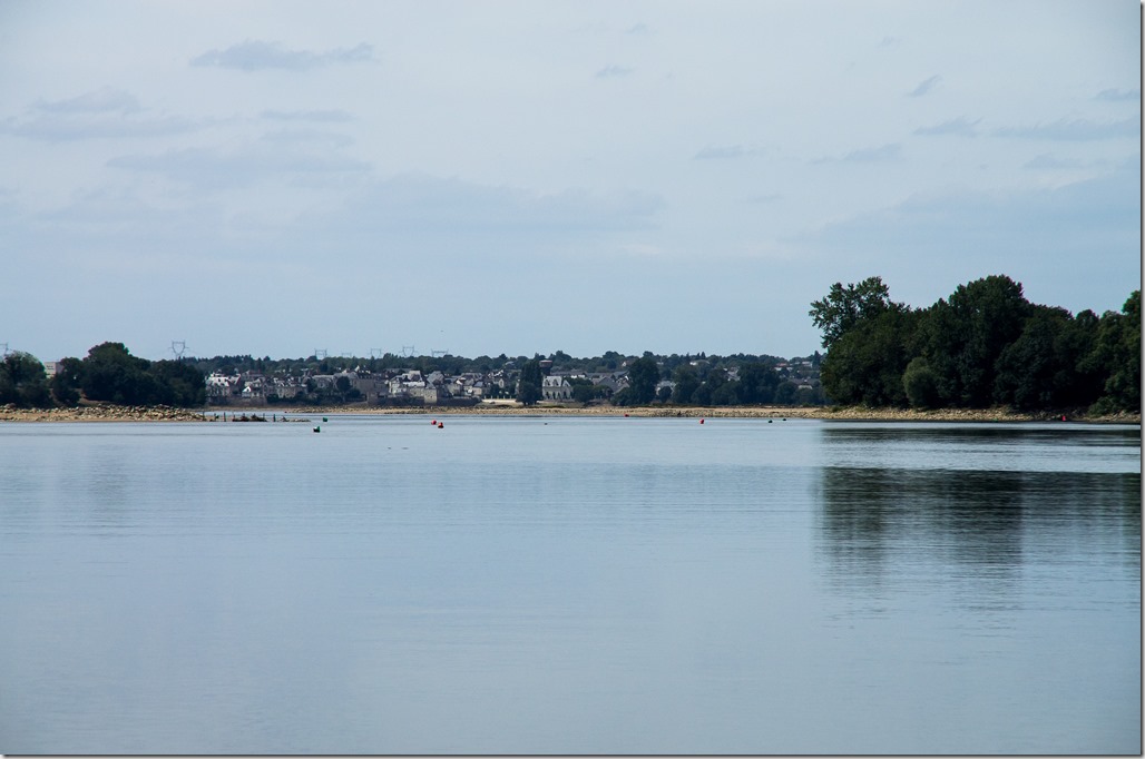
But more likely you will meet much lower water levels during the summer. You then need to stick to the channel that has been marked out by the VNF with there summer buoys. As you can see in the next picture, this poses the real challenge of the navigation, as the channel might switch sides for no obvious reasons. So please keep a good lookout. To aid with that, I transferred the notes from the bulletin onto the map in the Guide du Breil. Together with the kilometre markings on the map and my handheld GPS I could track progress and was always aware when the next situation would come up.

Ancenis to Nantes (36km): The tidal part of the river. Your strategy will depend on your boats speed, the time of the high tide in Nantes and the speed of the tidal flow.
The speed of the flow depends on the coefficient (which is shown at the above mentioned “Horaires éclusage St Félix”). We did our trip at a coefficient of 79 at a very low flow rate. And just about made it.
As you want to be in Nantes roughly around high water for either the ecluse St-Felix (open 3 hrs before and 4 hours past HW, daylight only) or the barrage into the Sevre Nantaise (open 1,5 hrs either side of HW) there are basically three approaches. I could find no reference about tide times further up the river. It would be very useful, to have the tide times for Ancenis. So please, if you have any information leave a comment.
a) Going down in one go in order to arrive at HW. That’s what we did as it fitted our schedule. Plus there was the allowance for an extra day if the plan hadn’t worked out. We stayed over night in Ancenis (large well kept floating jetty with water and electricity), got up early and made the trip in exactly five hours. The first 90 minutes we went with the outgoing tide and covered the 19 km to Mauves-sur-Loire. The last 17 km were not too bad as we always managed to stem the tide which came in at around 4-5 km/h. With ARGO doing 10km/h there was still a healthy 5km/h over ground left. The only deal breaker could well have been the bridges which act like a damn and your boat actually has to go up the rapids. We just about made it past the bridges but might have well failed at an higher coefficient. So please judge that with the speed your boat can do.
b) Breaking up the trip in two parts. Sounds like a good plan and the floating jetties at Oudon, le Cellier/Clermont and la Pierre-Percè all look like a good bet. At Pierre-Percèe there is a bar in the entrance that will stop you getting in or out at low water.
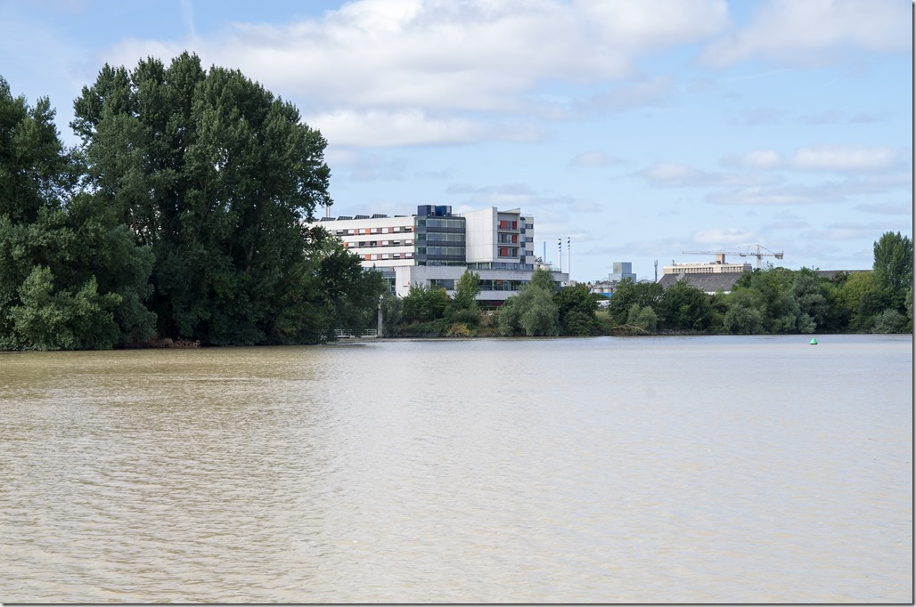
c) Go down with the outgoing tide. Probably the easiest option. But you have to wait for the tide to rise to get into the Sèvre or the l’Erdre. There are three pontoons to wait. Going into the Sèvre Nantaise there is a floating jetty just outside the barrage (slightly hidden by the big tree in the picture). But there is no access to the shore, so you will be sitting there for several hours.

Another jetty is opposite the Conseil General on the Ile de Beaulieu. It has a huge security gate across the walk way and you might well be locked in there. The best and most comfortable bet might well be the Jetty just downstream the entrance to the ecluse St-Félix. It is well within walking distance to the city centre and the main sights.
4.Mooring
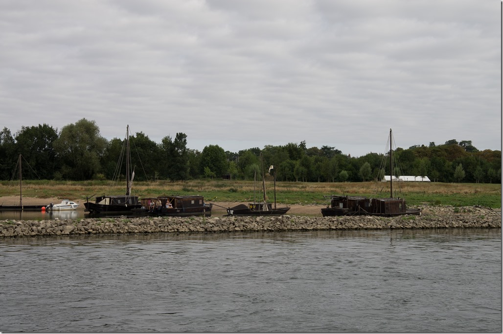
The Guide du Breil seems to be all a bit too pessimistic. At least I am under the impression, that when ever the refer to small boats only, they mean anything below 20 meters in length. With a trail boat it is unlikely you are having trouble to find a place to tie up. Basically all the jetties between Bouchmaine and Ancenis are of the floating type and well fit for the job. Some seem to be used as long-term boat storage and you may need to park in second line. Most have water, but only the one in Ancenis has power. The other alternative is to drop anchor or beach the boat in one of the many little bays formed between two spur dykes.

The Loire is bit more work than the Thames or the Shannon. But absolutely unique and stunningly beautiful. Go for it.
One thought on “A Deviation: Navigating the Loire”